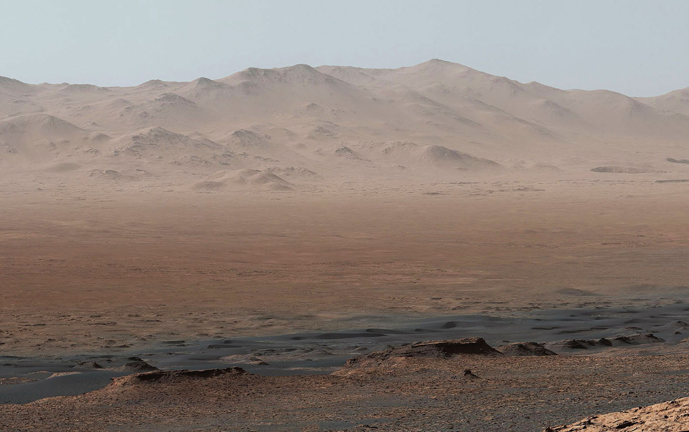
Curiosity's sweeping Mars panorama shows how far it's come


After over five years on Mars, the Curiosity rover has done a lot of science and taken a few knocks. While trekking up Mount Sharp recently, however, it paused at Vera Rubin Ridge during a rare period of clear weather. There, it used its mast camera to snap 16 images that NASA assembled into a magnificent, ultra-wide-screen panorama (and video, below) that shows its entire trip to date.
The images were taken on October 25th, 2017 during the 1,856th "sol," or Martian day, when it was clear enough to see mountains some 50 miles distant. NASA notes that the image "has been white-balanced so the colors of the rock materials resemble how they would appear under daytime lighting conditions on Earth."
NASA annotated Curiosity's entire trip showing how it went from its initial landing site to Yellowknife Bay, then on to Darwin, Cooperstown and the Kimberly. From there, it hit Namid Dune, ducked and weaved through Murray Buttes, checked out Ireson Hill, crossed the Bagnold Dunes and landed at Vera Rubin Ridge. The image background shows mountains that form Gale Crater's ridge, and the foreground lower portions of Mount Sharp, which sits in the middle of the 96-mile wide crater.
The rover had used its nuclear-powered motor to climb 1,073 feet when it took the shot on the northwestern ridge of lower Mount Sharp. It traveled 10.95 miles at that point, which doesn't seem a lot, but the vista shows the obstacles it had to deal with. Next up, the rover will continue its climb up Mount Sharp, checking out regions showing the presence of clay and sulfates. Both of those materials have the potential to harbor micro-organisms.
Source: NASA
via Engadget RSS Feed "http://ift.tt/2EsQ7EW"
Comments
Post a Comment