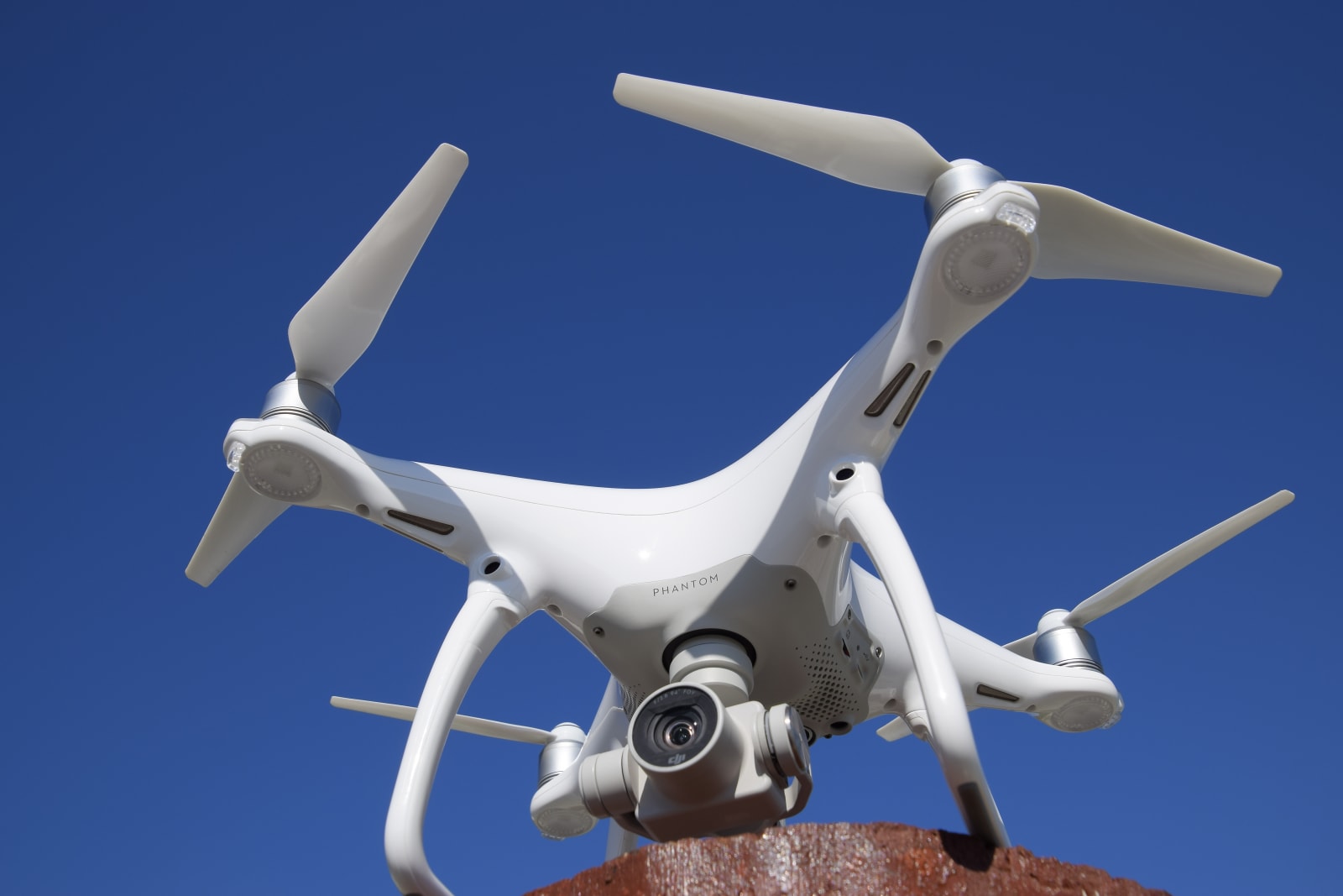
DroNet's neural network teaches UAVs to navigate city streets


Scientists from ETH Zurich are training drones how to navigate city streets by having them study things that already know how: cars and bicycles. The software being used is called DroNet, and it's a convolutional neural network. Meaning, it learns to fly and navigate by flying and navigating. The scientists collected their own training data by strapping GoPros to cars and bikes, and rode around Zurich in addition to tapping publicly available videos on Github. So far, the drones have learned enough to not cross into oncoming traffic and to avoid obstacles like traffic pylons and pedestrians.
To achieve this, DroNet produces a pair of outputs from each frame of reference, a steering angle and a collision probability. The software doesn't require much computing power, and also doesn't need any GPUs (no need to pause your cryptocurrency mining), so it can be applied to a variety of UAVs, even palm-sized nano drones. As you'll see in the video below, the results at this point are pretty impressive. The drones are even able to navigate indoor spaces like office buildings and parking garages as well -- perfect for delivering packages -- with no training data.
Speaking to IEEE Spectrum, University of Zurich's Professor Scaramuzza said not to get too excited just yet. For starters, the drone's motion and prediction abilities are constrained to a constant height and the neural network hasn't been integrated with exploration tasks. So, it sounds like using a DroNet-equipped UAV on a search-and-rescue mission in the woods might not be feasible at the moment.
The end goal? Drones that can fly around and navigate "exactly" like birds do, according to Scaramuzza. Let's hope Boston Dynamics doesn't catch wind of this.
Via: IEEE Spectrum
Source: ETH Zurich
via Engadget RSS Feed "http://ift.tt/2DOAmLB"
Comments
Post a Comment